
Results for "Wales"
Filters
Showing 553–576 of 917 water locations
Pwll y Tarw
A bay in Wales.
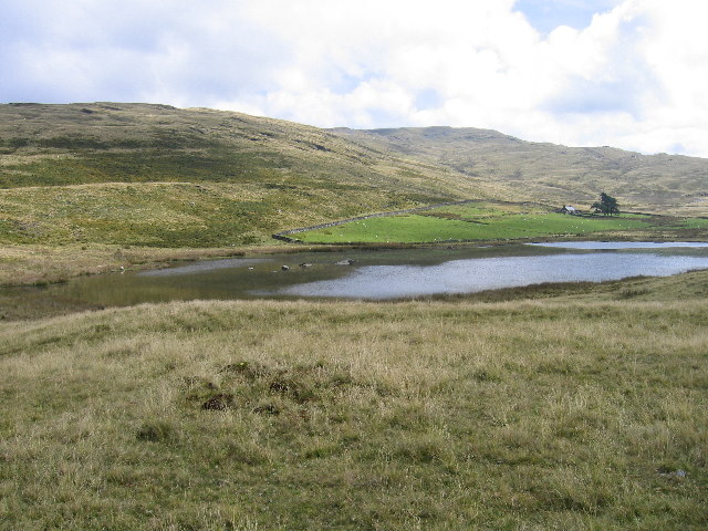
Llyn yr Oerfel
A lake in Wales.
Port Eynon Bay
A bay in Wales.

Eastern Lake
A lake in Wales.

Pistyll Rhaeadr
Pistyll Rhaeadr (Welsh pronunciation: [pɪstɨ̞ɬ r̥eɨ̯adr], meaning "waterfall (of) Rhaeadr") is a waterfall 4 miles (6 kilometres) from the village of Llanrhaeadr-ym-Mochnant in Powys, Wales, and 16 miles (26 kilometres) west of Oswestry.

Cwm Llan
A waterfall in Wales.

Martin's Haven
A bay in Wales.

Pilot's Cove
A bay in Wales.
Ffynnon Corn
A spring in Wales.
Blaen Bran Reservoir
reservoir near Upper Cwmbran
Musselwick
A bay in Wales.
.jpg?width=800)
Llyn Eiddwen
Llyn Eiddwen () is a lake and site of special scientific interest near Trefenter in Ceredigion, Wales. It is the source of the River Aeron. This natural lake provides an environment to preserve rare local water-plant life and seasonal animals.
Swansea Beach
A beach in Wales.
Caradog Falls
waterfall at Tynygraig
Traeth Morfa Bychan / Black Rock Sands
A beach in Wales.

The Dip
A bay in Wales.

Broughton Bay
A bay in Wales.

Lluest-Wen Reservoir
Lluest-wen Reservoir (Welsh: Cronfa-ddwr Lluest-wen) is a reservoir at the top of the Rhondda Fach Valley (Welsh: Cwm Rhondda Fach), in the borough of Rhondda Cynon Taf, South Wales. Parts of it fall within the communities of Rhigos, Aberdare and Treherbert. A recreational walking route, the Coed Morgannwg Way, and route 47 of the National Cycle Network run northeast and southwest of it respectively.
Wales Brook
A river in Massachusetts, with camping nearby.

Limeslade Bay
A bay in Wales.

Y Ro
A beach in Wales.
Broad Haven
A bay in Wales.
Rhaeadr-bach
A waterfall in Wales.

Hatling Bigni
A bay in Wales.
Advertisement