

Live · USGS, NOAA & NWS data
Can I swim here today?Find out before you drive.
Live water temperature, flow and official hazard alerts for beaches, lakes and rivers across America — straight from USGS, NOAA and NWS sensors, updated daily.
McWay Falls · King of Hearts · CC BY-SA 3.0
Can I swim here today?
Live water temperature, flow and official hazard alerts for any river, lake or beach — plus a plain-English verdict — before you go.
Check a spot →Live mapLive swim map
Water temperatures near you, on one map — every USGS sensor reporting today, colour-coded for swimming.
Open the map →Every ThursdayWeekly swim report
Warmest water and active hazards in every state — the week’s readings, sourced and timestamped.
Read this week’s report →Data studyWhere America swims
The highest-rated swimming spot in every U.S. state — ranked by real visitor ratings.
See all 50 states →Best Beaches, Waterfalls & Swimming Spots
Top-rated destinations for swimming, fishing, kayaking, and family fun
🏖️ Beautiful Beaches
6 locations 4.8(26,415)
Siesta Beach
Fine white quartz sand that stays cool plus a playground, tennis courts & year-round lifeguards.
 4.7(17,531)
Newport Beach Pier
Scenic pier popular for fishing & ocean views, convenient to beach & nearby shops & restaurants.
 4.7(13,981)
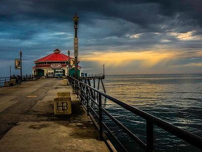
Huntington Beach
This 3.5-mile stretch of beach & pier draws crowds & hosts pro surfing & volleyball competitions.
 4.7(13,872)
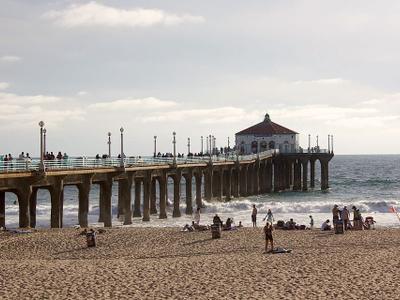
Manhattan Beach Pier
This restored 928-ft. concrete pier is the oldest on the West Coast & features a cafe & an aquarium.
 4.7(11,261)
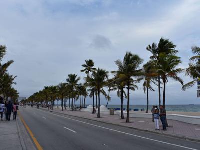
Las Olas Beach
This busy public beach offers white sand & palm trees, plus restaurants, lodging & stores.
 4.6(9,189)
Historic Virginia Key Beach Park
Mile-long beach near Downtown with wetlands, a boardwalk, hiking trails, picnic areas & concessions.
💧 Stunning Waterfalls
6 locations 4.8(2,301)
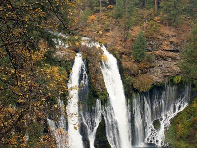
Bridal Veil Falls
Cascading waterfall on parkland offering upper & lower hiking trails & grassy picnic areas.
 4.9(2,098)
Burney Falls
President Theodore Roosevelt called it "the eighth wonder of the world" — Burney Falls is a stunning 129-foot waterfall fed by underground springs that produce 100 million gallons of water daily, maintaining its flow even in the driest months. Located in the 910-acre McArthur-Burney Falls Memorial State Park, the falls were designated a National Natural Landmark in 1954. The park offers camping, cabin rentals, boating and kayaking on Lake Britton, swimming, fishing, and 5 miles of streamside trails.
 4.8(1,313)
Raymondskill Falls
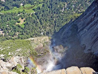
The tallest waterfall in Pennsylvania at roughly 150 feet, Raymondskill Falls is a stunning three-tiered cascade in the Delaware Water Gap National Recreation Area near Milford. A short third-of-a-mile trail winds through a hemlock ravine to two viewing platforms — one at the top and another below the upper two tiers. A more ambitious 3.1-mile loop combines the falls with Hackers Falls and a Cliff Trail offering views of the Delaware River. Free parking with composting toilets available.
 4.9(1,234)
Yosemite Falls
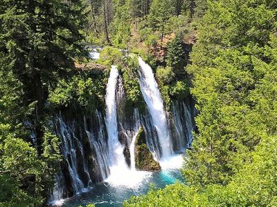
Iconic 2,425-foot waterfall in Yosemite National Park, featuring upper fall, middle cascades, and lower fall. Best viewing in spring during snowmelt.
Hiking Trails · Viewing Areas · Photography Spots · Visitor Center
 4.8(892)
McArthur-Burney Falls
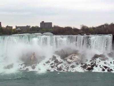
Spectacular 129-foot waterfall with year-round flow of 100 million gallons daily. Features hiking trails, swimming areas, and camping facilities.
Hiking Trails · Swimming Area · Camping · Visitor Center
 4.8(626)
American Falls
The American side of Niagara Falls stands 110 feet tall and stretches 950 feet wide, receiving about 11% of the mighty Niagara River's flow. Located within the 400-acre Niagara Falls State Park — designed by Frederick Law Olmsted — visitors can approach within meters of the brink, explore Goat Island and Luna Island via pedestrian bridges, and descend via the Cave of the Winds tour. An observation tower provides panoramic views of all three falls. Free park entry, open 365 days a year.
Advertisement
🏞️ Pristine Lakes
6 locations 4.7(9,945)
Green Lake Park
Recreation area with trails, beach & boathouse, plus tennis courts, baseball fields & indoor pool.
 4.8(6,061)
Cranes Roost Park
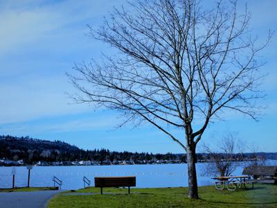
Lakeside area featuring a walking path, plaza with fountain show & amphitheater for outdoor events.
 4.7(5,044)
Lake Sammamish State Park
512-acre park with ample waterfront access & boat launch, plus seasonal kayak rentals & picnicking.
 4.7(4,446)
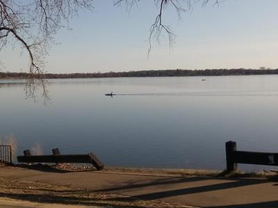
Bde Maka Ska
Swimming, water sports & watercraft rentals, plus separate 3-mile loop paths for walkers & bikers.
 4.4(4,406)
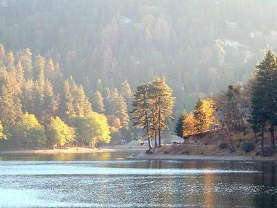
Lake Gregory Regional Park
Park's 84 acres are dominated by Lake Gregory, which is surrounded by trails, picnics & pines.
 4.6(2,181)
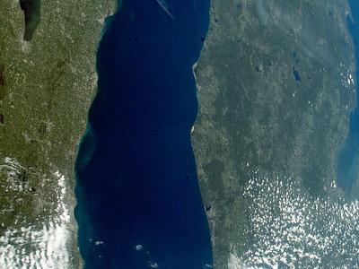
Lake Michigan
One of the 5 Great Lakes, touching 4 U.S. states & home to Chicago, Milwaukee & Green Bay.
🌊 Flowing Rivers & Streams
6 locations 4.6(3,384)
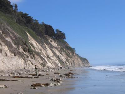
D River State Recreation Site
The D River flows just 120 ft. from Devils Lake into the ocean at this state-administered area.
 4.7(3,221)
Arroyo Burro Beach County Park
This oceanfront beach with seasonal lifeguards & a grassy area for picnicking allows off-leash dogs.
 4.8(2,910)
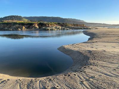
Carmel River State Beach
This mile-long beach offers bird watching opportunities & a popular scuba diving entry point.
 4.5(1,761)
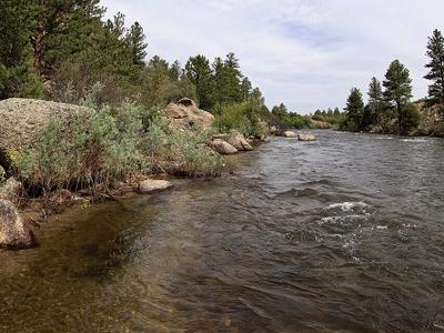
Arkansas River
The sixth-longest river in the United States at 1,469 miles, the Arkansas River flows from the Rocky Mountains near Leadville, Colorado through Kansas, Oklahoma, and Arkansas to meet the Mississippi. The upper Colorado stretch offers premier whitewater rafting through Brown's Canyon and the Royal Gorge, plus Gold Medal trout fishing. The 445-mile McClellan-Kerr Navigation System in Oklahoma and Arkansas supports commercial barge traffic and recreation. The river drains nearly 170,000 square miles across its course.
 4.3(965)
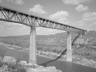
Pecos River
The Pecos River originates in north-central New Mexico and flows into Texas, emptying into the Rio Grande. Its headwaters are on the eastern slope of the Sangre de Cristo mountain range in Mora County north of Pecos, New Mexico, at an elevation of over 12,000 feet.
 4.5(936)
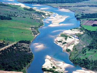
Red River
At 1,290 miles long, the Red River forms the Texas-Oklahoma boundary for approximately half its length, rising in eastern New Mexico and flowing southeast through Texas and Louisiana to the Mississippi. Denison Dam creates Lake Texoma — one of the largest U.S. reservoirs covering 89,000 acres and attracting 6 million visitors annually. The river's distinctive red color comes from sediment carried during flood periods, and ancient salt deposits from a 250-million-year-old sea give the water high mineral content.
Get the weekly swim report
Every Thursday: the warmest water in every state, active water hazards, and where to swim this weekend. No spam — unsubscribe anytime.
Advertisement
Sponsored gear checklist
Pack for the water
Start with practical categories that fit many water trips. These are Amazon search links, not fixed product endorsements.
As an Amazon Associate we earn from qualifying purchases.
A reliable default for rocky entries, docks, creeks, and hot pavement.
Keeps towels, keys, and layers together around splash, sand, and rain.
Small enough to pack, easy to forget, and useful on most exposed water days.
A low-cost way to protect your phone near boats, beaches, falls, and pools.
Explore by Activity
Find the perfect water destination for your favorite activities
Guides & Articles
Practical, original guides to swimming, paddling, fishing, and staying safe at the water.
Freshwater vs. Saltwater Swimming: What to Know
Lakes and oceans aren't just different scenery — they swim differently, and demand different know-how.
5 min read
Cliff Jumping and Swimming Hole Safety: Know Before You Leap
Cliff jumping looks carefree in the videos. The reality demands checks that the videos never show.
5 min read
Stand-Up Paddleboarding for Beginners: Gear, Balance, and First Strokes
SUP is the easiest paddle sport to look graceful at — once you know the few basics that keep you upright.
5 min read
Browse by State
Pick any US state to see its beaches, waterfalls, lakes and rivers.
Outside the US? United Kingdom and Ireland are mapped too.
Can't Find What You're Looking For?
Filter by water type, activities, accessibility, and more.
Advanced Search