
Water Destinations in United Kingdom
Explore 12,610 beaches, lakes, waterfalls, and swimming spots across United Kingdom.
Top Spots in United Kingdom
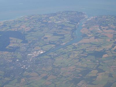
River Medina
The River Medina is the main river of the Isle of Wight, England, rising at St Catherine's Down near Chale, and flowing northwards through the county town Newport, towards the Solent at Cowes. The river is a navigable tidal estuary from Newport northwards, where it takes the form of a ria (a drowned valley). This occurred because the Medina used to be a tributary of what was once the "River Solent", with a larger catchment area.
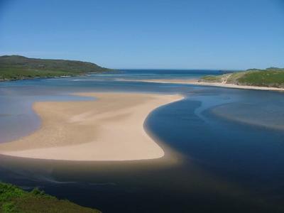
Kyle of Durness
Kyle of Durness (Scottish Gaelic: Caolas Dhiùranais ) is a coastal inlet on the north coast of Scotland in the county of Sutherland. It extends 5+1⁄2 miles (9 kilometres) inland from Balnakeil and divides the Cape Wrath peninsula from the mainland. The nearest village is Durness.

Lough Gullion
Lough Gullion is a shallow lake north of Craigavon, County Armagh in Northern Ireland.

Loch Muick
Loch Muick () is an upland, freshwater loch lying approximately five miles (eight kilometres) south of Braemar, Scotland at the head of Glen Muick and within the boundary of the Balmoral estate.
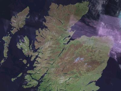
Moray Firth
The Moray Firth (; Scottish Gaelic: An Cuan Moireach, Linne Mhoireibh or Caolas Mhoireibh) is a roughly triangular inlet (or firth) of the North Sea, north and east of Inverness, which is in the Highland council area of the north of Scotland. It is the largest firth in Scotland, stretching from Duncansby Head (near John o' Groats) in the north, in the Highland council area, and Fraserburgh in the east, in the Aberdeenshire council area, to Inverness and the Beauly Firth in the west. Therefore, three council areas have Moray Firth coastline: Highland to the west and north of the Moray Firth and Highland, Moray and Aberdeenshire to the south.

Y Rhaeadr Fawr
Aber Falls (Welsh: Rhaeadr Fawr, lit. 'big waterfall') is a waterfall located about two miles (3 km) south of the village of Abergwyngregyn, Gwynedd, Wales. The waterfall is formed as the Afon Goch plunges about 120 feet (37 m) over a sill of igneous rock in the foothills of the Carneddau range. Two tributaries merge; the enlarged stream is known as Afon Rhaeadr Fawr; from the road bridge, Bont Newydd ("New Bridge"), the name becomes Afon Aber.
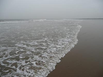
Rest Bay
beach in Porthcawl, Wales
Lifeguard
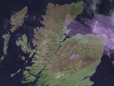
Moray Firth
The Moray Firth (; Scottish Gaelic: An Cuan Moireach, Linne Mhoireibh or Caolas Mhoireibh) is a roughly triangular inlet (or firth) of the North Sea, north and east of Inverness, which is in the Highland council area of the north of Scotland. It is the largest firth in Scotland, stretching from Duncansby Head (near John o' Groats) in the north, in the Highland council area, and Fraserburgh in the east, in the Aberdeenshire council area, to Inverness and the Beauly Firth in the west. Therefore, three council areas have Moray Firth coastline: Highland to the west and north of the Moray Firth and Highland, Moray and Aberdeenshire to the south.
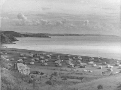
Pentewan Beach
beach in Cornwall, England, UK
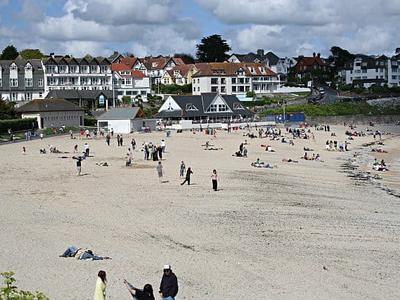
Gyllyngvase Beach
Gyllyngvase (; Cornish: An Gilen Vas, meaning the shallow inlet) is one of the four beaches associated with Falmouth, Cornwall, England, in the United Kingdom, and is west of Pendennis Castle. It is to the south of Falmouth town centre, but was an essentially rural area as recently as the late 19th century. However, the growth of tourism in the town at around the turn of the 20th century saw the area become more built-up and the seafront on Cliff Road became home to several major hotels.
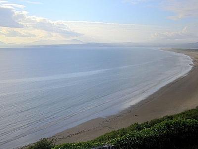
Bae Ceredigion / Cardigan Bay
Cardigan Bay (Welsh: Bae Ceredigion) is a large inlet of the Irish Sea, indenting the west coast of Wales between Bardsey Island, Gwynedd in the north, and Strumble Head, Pembrokeshire at its southern end. It is the largest bay in Wales.
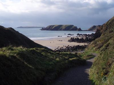
Marloes Sands
Marloes Sands (Welsh: Traeth Marloes) is an approx. 1.5 kilometres (0.93 mi) long remote sandy beach in Pembrokeshire, Wales, near the village of Marloes. It's broadly curved and surrounded by cliffs.
Browse by regions
Water destinations across United Kingdom
Advertisement