
Updated
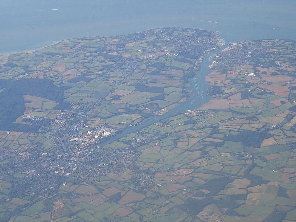
The River Medina is the main river of the Isle of Wight, England, rising at St Catherine's Down near Chale, and flowing northwards through the county town Newport, towards the Solent at Cowes. The river is a navigable tidal estuary from Newport northwards, where it takes the form of a ria (a drowned valley). This occurred because the Medina used to be a tributary of what was once the "River Solent", with a larger catchment area.
Interactive map not available
Advertisement
Weather at River Medina
55°F, Light rain · H 57° / L 51° · 91% chance of rain3-day forecast
H: 57° L: 51°
Light rain

55°
|
Feels like 48°
Precipitation
91%
Humidity
93%
Wind
16 mph
UV Index
0
Weather notes:
🏄Good for surfing/sailing🌧️Rain expected
12 AM

52°
3 AM
53°
6 AM
56°
9 AM

54°
12 PM

53°
3 PM
54°
6 PM

52°
9 PM

55°
Frequently asked questions
- Where is River Medina?
- River Medina is a river in South East England.
- Can you swim at River Medina?
- There is no fixed answer for River Medina: whether it is safe to swim there on a given day depends on the water temperature, recent rainfall, and any advisories posted at River Medina in South East England. Check current water conditions before you go, and follow posted signs and local guidance.
Advertisement
Pack smarter for River Medina
SponsoredCompare current options on Amazon. As an Amazon Associate we earn from qualifying purchases.
Location & Contact
South East England
🌊 Best times & visiting tips
- ›Check water levels and current conditions before visiting
- ›Wear life jackets when on the water
- ›Be aware of rapids and potential hazards
- ›Respect private property along riverbanks
</> Embed this location on your site
Paste this snippet into your website to show a live badge for River Medina — free to use with the included credit link.