
Updated
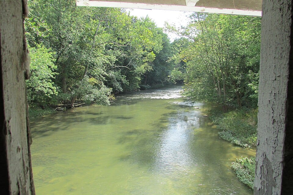
Flatrock River
River
Live flow only — judge the water in person
Use cautionLive flow only — judge the water in person: live streamflow is available but no water-temperature sensor is nearby.
- Gage height 3.12 ft
Live, provisional data from USGS gauge HAW CREEK NEAR CLIFFORD, IN (3.8 mi away), as of Oct 20, 2:30 AM gauge-local time.
Why, sources & official advisories
- Live streamflow is available but no water-temperature sensor is nearby. — USGS gauge 03364200, as of Oct 20, 2:30 AM gauge-local time
No official beach-advisory feed for Indiana yet — follow posted signs and local guidance.
The Flatrock River, also known as Flatrock Creek and other variants of the two names, is a 98-mile-long tributary of the East Fork of the White River in east-central Indiana in the United States.
Advertisement
Weather at Flatrock River
49°F, Clear · H 71° / L 48° · 4% chance of rain3-day forecast


Frequently asked questions
- Where is Flatrock River?
- Flatrock River is a river in Indiana.
- Can you swim at Flatrock River?
- Live flow only — judge the water in person: live streamflow is available but no water-temperature sensor is nearby. Checked October 20, 2026.
- How is Flatrock River rated?
- Flatrock River in Indiana has an average visitor rating of 4.4 out of 5, based on 90 reviews.
Advertisement
Pack smarter for Flatrock River
SponsoredCompare current options on Amazon. As an Amazon Associate we earn from qualifying purchases.
Location & Contact
Indiana
Indiana None
🌊 Best times & visiting tips
- ›Check water levels and current conditions before visiting
- ›Wear life jackets when on the water
- ›Be aware of rapids and potential hazards
- ›Respect private property along riverbanks
Features & amenities
People Talk About
</> Embed this location on your site
Paste this snippet into your website to show a live badge for Flatrock River — free to use with the included credit link.