
Best Rivers & Streams in America
Find the best rivers and streams for kayaking, fishing, tubing, and riverside adventures.
All Rivers & Streams
Page 2 of 4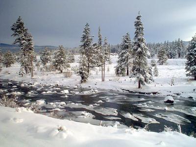 4.7(734)
Truckee River
The sole outlet of Lake Tahoe, the 121-mile Truckee River flows northeast through the Sierra Nevada to Pyramid Lake in Nevada, passing through Reno and Sparks. The river offers world-class Lahontan cutthroat trout fishing, casual summer tubing from Mayberry Park in Reno, and kayaking with Class I-III rapids. Downtown Reno's Truckee River Whitewater Park features a half-mile of progressive drop pools for practice. A 121-mile water trail with marked public access points spans the entire river from Lake Tahoe to Wadsworth.
 4.7(217)
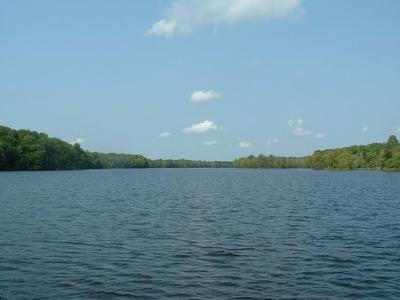
Menominee River
The Menominee River is a river in northwestern Michigan and northeastern Wisconsin in the United States. It is approximately 116 miles long, draining a rural forested area of northern Wisconsin and the Upper Peninsula of Michigan into Lake Michigan.
 4.7(3,221)
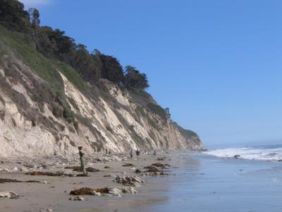
Arroyo Burro Beach County Park
This oceanfront beach with seasonal lifeguards & a grassy area for picnicking allows off-leash dogs.
 4.6(28)
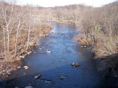
Brandywine Creek
A Revolutionary War battle area, this landmark creek features historic sites & outdoor recreation.
 4.6(22)
Satsop River
tributary to the Chehalis River in Grays Harbor County, Washington state, United States of America
 4.6(20)
Carbon River
Large, glacier-fed river named for local coal deposits, with hiking trails nearby.
 4.6(857)
Hudson River
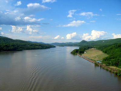
Flowing 315 miles from the Adirondack Mountains to New York Bay, the Hudson River is one of America's most historically significant waterways. The river occupies a glacially-carved fjord, with tidal effects reaching 153 miles north to Troy. Indigenous peoples called it Mahicannittuk — "river that flows two ways." Henry Hudson explored it in 1609, and the Erie Canal made it a vital 19th-century artery. The river inspired the Hudson River School of landscape painting and remains a premier destination for fishing, kayaking, and sailing.
 4.6(24)
Little Fork River
The Little Fork River is a river of Minnesota. It flows into the Rainy River. It flows 160 miles from central St. Louis County to its confluence with the Rainy River near International Falls. This river passes through forested areas with sparse population, and the small towns of Cook and Littlefork.
 4.6(437)
Comal River
The Comal River is the shortest navigable river in the state of Texas in the United States. Proclaimed the "longest shortest river in the world" by locals, it runs entirely within the city limits of New Braunfels in southeast Comal County. It is a tributary of the Guadalupe River.
 4.6(3,384)
D River State Recreation Site
The D River flows just 120 ft. from Devils Lake into the ocean at this state-administered area.
 4.6(93)
Cuivre River
The Cuivre River is a 41.6-mile-long river in the east central part of the state of Missouri, north of the Missouri River terminus. A good part of its course marks the borders between Lincoln and St. Charles counties before emptying into the Mississippi River north of St. Louis.
Trip packing checklist
Gear for Rivers & Streams
Useful gear categories for this kind of water trip. These links open Amazon search results so you can compare current options before you go.
As an Amazon Associate we earn from qualifying purchases.
A practical option for casual paddling when rentals are limited.
Keeps keys, towels, and layers together around moving water.
Helpful for rocky entries, slick banks, and wading.
Worth comparing before tubing spots with shallow or rocky sections.
Tips for Visiting Rivers & Streams
Check water levels and current conditions before visiting
Wear life jackets when on the water
Be aware of rapids and potential hazards
Respect private property along riverbanks