
Best Rivers & Streams in America
Find the best rivers and streams for kayaking, fishing, tubing, and riverside adventures.
All Rivers & Streams
Page 3 of 4 4.6(890)
Guadalupe River
The 230-mile Guadalupe River is Texas Hill Country's premier tubing and rafting destination, with the stretch through New Braunfels offering rapids, boulders, and tube chutes. The popular Horseshoe Loop provides a one-hour float with manageable rapids, while longer sections offer 2-6 hour adventures. Flow is controlled by Canyon Lake dam releases. Tube rentals run $15-22 per person with shuttle. Alcohol allowed in non-disposable containers only within city limits; life jackets required when flow exceeds 750 cfs.
 4.5(32)
Siletz River
The Siletz River flows about 67 miles to the Pacific Ocean through coastal mountains in the U.S. state of Oregon. Formed by the confluence of its north and south forks near Valsetz in Polk County, it winds through the Central Oregon Coast Range.
 4.5(423)
American River
The American River offers excellent opportunities for rafting, kayaking, fishing, and features the 32-mile American River Parkway with trails for biking and hiking.
Rafting · Kayaking · Bike Trails · Hiking Trails
 4.5(856)
Yakima River
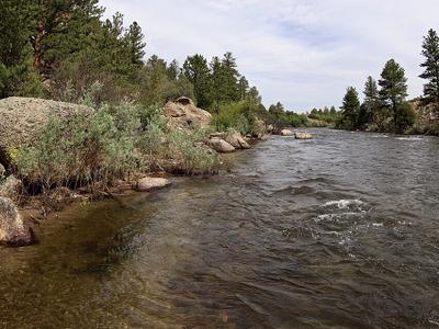
The longest river entirely within Washington State at 214 miles, the Yakima is a world-class fly fishing destination producing over 15,000 wild rainbow trout per mile in its top sections. The 75-mile Blue Ribbon catch-and-release section between Easton and Roza Dam is the most renowned stretch, with trophy trout regularly exceeding 20 inches. Three reservoirs ensure good flows and cool water in summer, and the river enjoys approximately 300 days of sunshine per year. Fishing season runs mid-February through mid-November.
 4.5(1,761)
Arkansas River
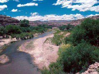
The sixth-longest river in the United States at 1,469 miles, the Arkansas River flows from the Rocky Mountains near Leadville, Colorado through Kansas, Oklahoma, and Arkansas to meet the Mississippi. The upper Colorado stretch offers premier whitewater rafting through Brown's Canyon and the Royal Gorge, plus Gold Medal trout fishing. The 445-mile McClellan-Kerr Navigation System in Oklahoma and Arkansas supports commercial barge traffic and recreation. The river drains nearly 170,000 square miles across its course.
 4.5(856)
Gila River
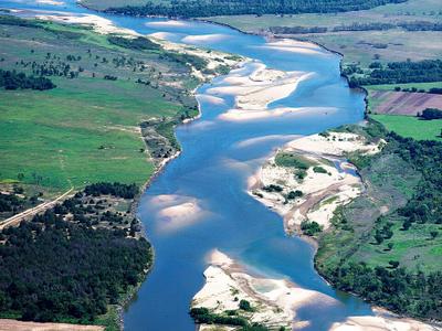
A 649-mile tributary of the Colorado River flowing through New Mexico and Arizona, the Gila River drains nearly 60,000 square miles of dramatic desert and mountain landscape. For over 2,000 years, Indigenous peoples thrived here — the ancient Huhugam civilization built 500 miles of irrigation canals supporting 50,000-60,000 people. The river's headwaters feed the Gila National Forest and Wilderness Area, one of the first designated wilderness areas in the United States, offering hiking, camping, and hot springs in remote canyon country.
 4.5(936)
Red River
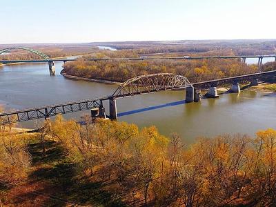
At 1,290 miles long, the Red River forms the Texas-Oklahoma boundary for approximately half its length, rising in eastern New Mexico and flowing southeast through Texas and Louisiana to the Mississippi. Denison Dam creates Lake Texoma — one of the largest U.S. reservoirs covering 89,000 acres and attracting 6 million visitors annually. The river's distinctive red color comes from sediment carried during flood periods, and ancient salt deposits from a 250-million-year-old sea give the water high mineral content.
 4.5(342)
Illinois River
The Illinois River is a principal tributary of the Mississippi River at approximately 273 miles in length. Located in the U.S. state of Illinois, the river has a drainage basin of 28,756.6 square miles.
 4.5(40)
Blackwater River
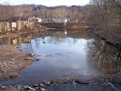
The Blackwater River is a 79.3-mile-long tributary of the Lamine River in west-central Missouri in the United States. Via the Lamine and Missouri rivers, it is part of the watershed of the Mississippi River. The Blackwater River was named from the character of its banks and water.
 4.5(66)
Wheeling Creek
Wheeling Creek is a tributary of the Ohio River, 25 miles long, in the northern panhandle of West Virginia, with a watershed extending into southwestern Pennsylvania.
 4.4(23)
Zumbro River
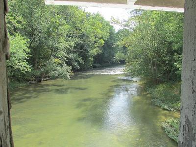
The Zumbro River is a tributary of the Mississippi River in the Driftless Area of southeastern Minnesota in the United States. It is 64.6 miles long from the confluence of its principal tributaries and drains a watershed of 1,428 square miles.
 4.4(90)
Flatrock River
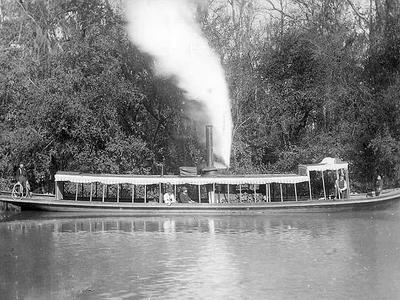
The Flatrock River, also known as Flatrock Creek and other variants of the two names, is a 98-mile-long tributary of the East Fork of the White River in east-central Indiana in the United States.
 4.4(172)
Amite River
The Amite River is a tributary of Lake Maurepas in Mississippi and Louisiana in the United States. It is about 117 miles long. It starts as two forks in southwestern Mississippi and flows south through Louisiana, passing Greater Baton Rouge, to Lake Maurepas. The lower 37 miles of the river is navigable.
 4.4(334)
Fox River
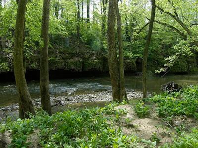
The Fox River is a 202-mile-long tributary of the Illinois River, flowing from southeastern Wisconsin to Ottawa, Illinois in the United States. The Wisconsin section was known as the Pishtaka River in the 19th century. There is another Fox River in Wisconsin that flows through Lake Winnebago into Green Bay.
 4.4(96)
Muscatatuck River
The Muscatatuck River is a 53.7-mile-long river in south central Indiana, United States. It is a major tributary of the East Fork of the White River and drains 1,000 square miles. In one area it serves as the southern boundary of the main unit of the Muscatatuck National Wildlife Refuge.
 4.4(20)
North Fork Toutle River
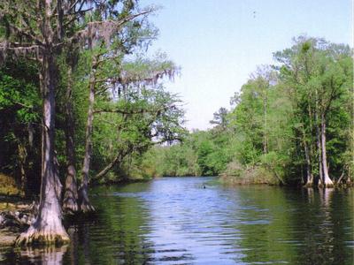
tributary to the Toutle River in Cowlitz County and Skamania County, Washington state, United States of America
 4.4(220)
Lumber River
The Lumber River, sometimes referred to as the Lumbee River, is a 133-mile-long river in south-central North Carolina in the flat Coastal Plain. Due to its number of whirlpools European settlers called the river Drowning Creek, which is still used as the name of its headwater.
Trip packing checklist
Gear for Rivers & Streams
Useful gear categories for this kind of water trip. These links open Amazon search results so you can compare current options before you go.
As an Amazon Associate we earn from qualifying purchases.
A practical option for casual paddling when rentals are limited.
Keeps keys, towels, and layers together around moving water.
Helpful for rocky entries, slick banks, and wading.
Worth comparing before tubing spots with shallow or rocky sections.
Tips for Visiting Rivers & Streams
Check water levels and current conditions before visiting
Wear life jackets when on the water
Be aware of rapids and potential hazards
Respect private property along riverbanks